

To promote data-driven and location-based planning in science and technology programs, the Department of Science and Technology Ilocos Region (DOST Ilocos Region), through its Smarter Approaches to Reinvigorate Agriculture as an Industry in the Philippines (SARAI) unit, conducted a hybrid training on “Introduction to the Fundamentals and Basic Application of Geographic Information System (GIS)” on October 14, 2025, at the DOST Ilocos Region Multipurpose Hall in the City of San Fernando, La Union.
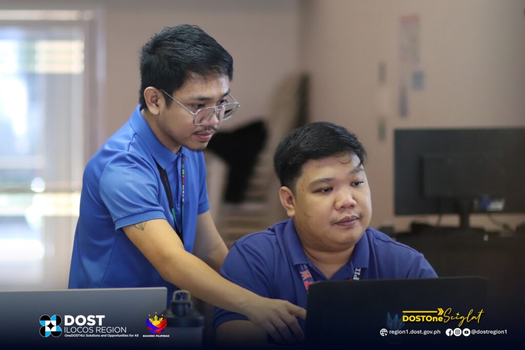
The activity gathered Twenty-three (23) personnel from the regional and provincial offices. Mr. Christian Domnic I. Casimiro, Capacity Development Lead of SARAI Ilocos Region provided an overview of the activity, highlighting the growing importance of GIS in evidence-based governance and program management. He underscored that GIS enables the visualization and analysis of spatial relationships among factors such as agriculture, environment, and disaster risk reduction, allowing DOST Ilocos Region to make more informed and equitable decisions for the communities it serves.
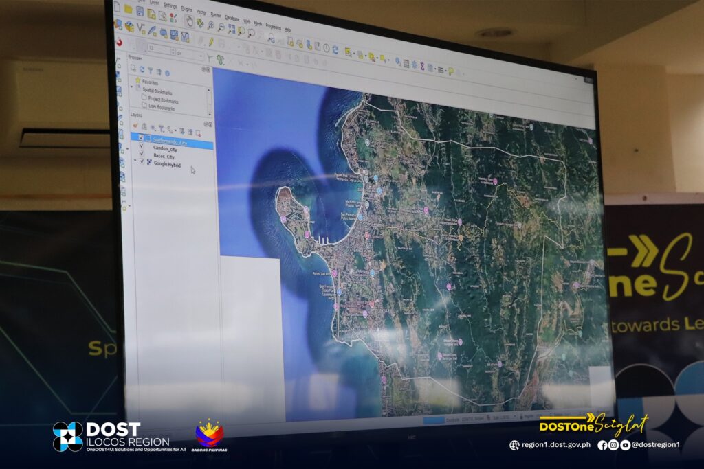
Geographic Information System (GIS) is a vital tool that supports the creation, storage, visualization, and analysis of geographically referenced data. It strengthens decision-making by revealing spatial patterns and relationships across locations and sectors, while also contributing to gender-responsive planning by identifying gender-differentiated needs, access to resources, and community vulnerabilities.
Serving as resource persons were Engr. Novilyne O. Obfan, Lead Researcher and GIS Expert of SARAI Ilocos Region, and Ms. Mirriam A. Oliva, GIS Support of DOST SARAI Ilocos Region. Engr. Obfan discussed the fundamentals of GIS, explored the QGIS interface and its functionalities, and facilitated hands-on exercises on symbology styling, raster datasets, and map layouting. Complementing these, Ms. Oliva guided participants through practical exercises on georeferencing and digitizing raster data, map projection and area determination, map styling and visualization, and raster data clipping.
Through this training, DOST Ilocos Region aims to bridge existing technical and knowledge gaps in the integration of geographic tools into its operations. While data collection and reporting are already part of the agency’s regular processes, the use of GIS strengthens the spatial dimension of program management, monitoring, and evaluation.
In his closing remarks, Mr. Decth-1180 P. Libunao, PFT, DOST Ilocos Region’s SARAI Focal Person and Assistant Regional Director for Field Operations, expressed his gratitude to the participants and organizers. He emphasized the importance of applying the knowledge gained to enhance the use of GIS tools in their respective units and offices, improving service delivery and ensuring that DOST’s programs and interventions remain grounded on data and location intelligence.
The activity forms part of DOST Ilocos Region’s continuing efforts under Project SARAI to promote smarter, data-driven, and technology-supported planning across various sectors in the region.( Christian Domnic I. Casimiro)